Home › Journeys › North America › Yosemite, the Eastern Sierra & Death Valley
Yosemite, the Eastern Sierra & Death Valley: Route Guide
Last updated:
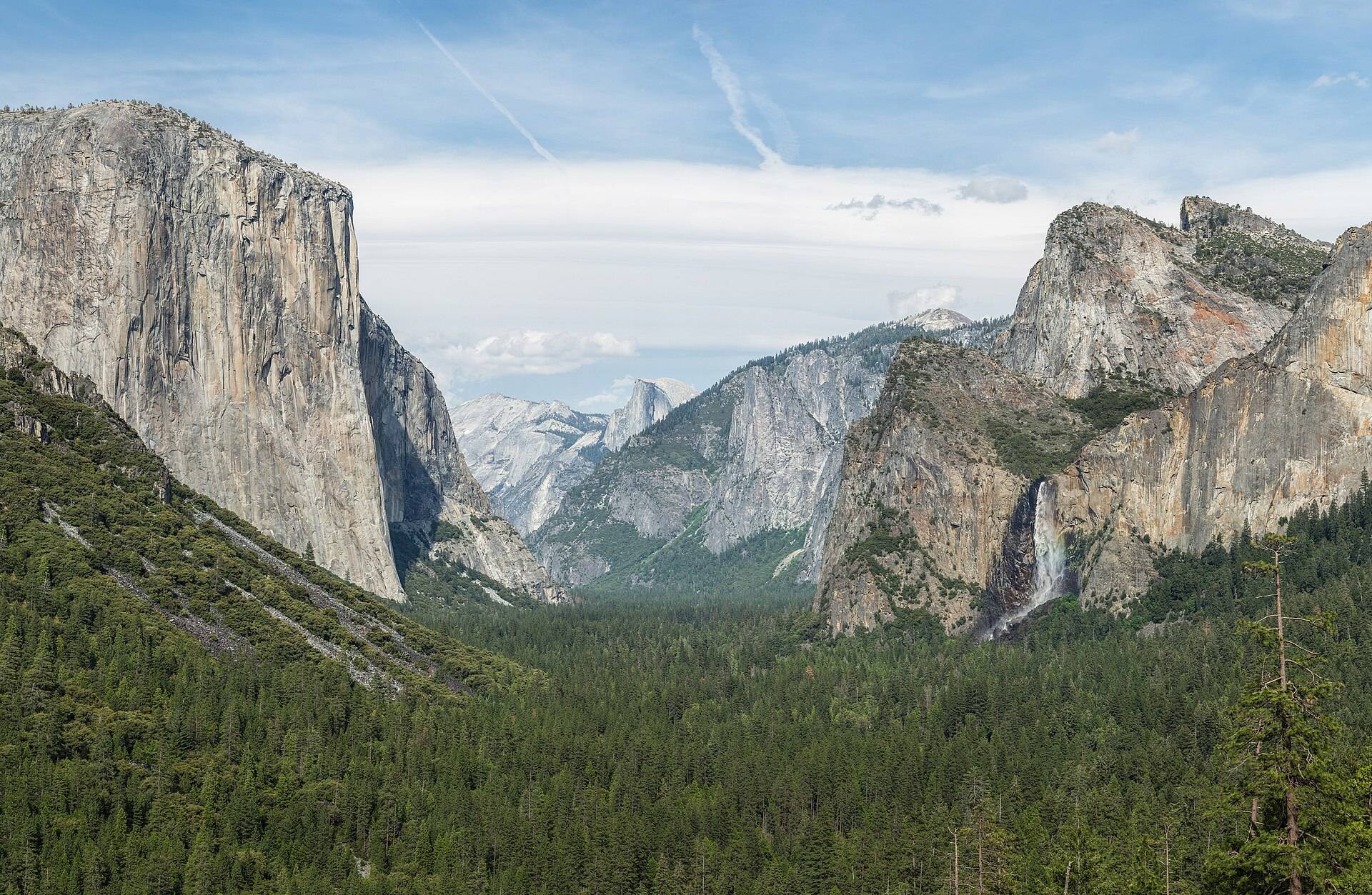
Cross California's sharpest elevation contrast only when Tioga Road is confirmed open: begin with Yosemite Valley and the public Tioga corridor, follow the Eastern Sierra through Mammoth, Bishop and Lone Pine, then finish at Death Valley's paved overlooks. Long hikes, Whitney permits, backcountry roads and extreme-heat exposure are outside the baseline.
Yosemite, the Eastern Sierra & Death Valley is a 500 km one-way journey (self-drive). It works best as a 6-day trip; the plan below is the 6-day version for September, built from 332 verified places, with planned transit times, opening hours and daylight checked.
Plan your own version → 6-day plan · best time to go
The route
What you'll see
Choose your length
When to go
Best months: June, September, October
Tioga Road and the Eastern Sierra crossing are normally in season, while Death Valley requires a paved-road, vehicle-based heat plan. Exact pass, fire, flood and temperature conditions can invalidate the route and must be rechecked.
Similar journeys
- Havana to Trinidad, Havana → Trinidad · 5–6 days
- Canal to Cloud Forest & Bocas, Panama City → Bocas del Toro · 6 days · staffed road transfers + passenger boat · best Dec–Apr
- Vancouver Island: Victoria to Tofino, Victoria → Tofino · 4–6 days · best Jun–Sep