Home › Journeys › North America › Blue Ridge Parkway & Appalachian Towns
Blue Ridge Parkway & Appalachian Towns: Route Guide
Last updated:
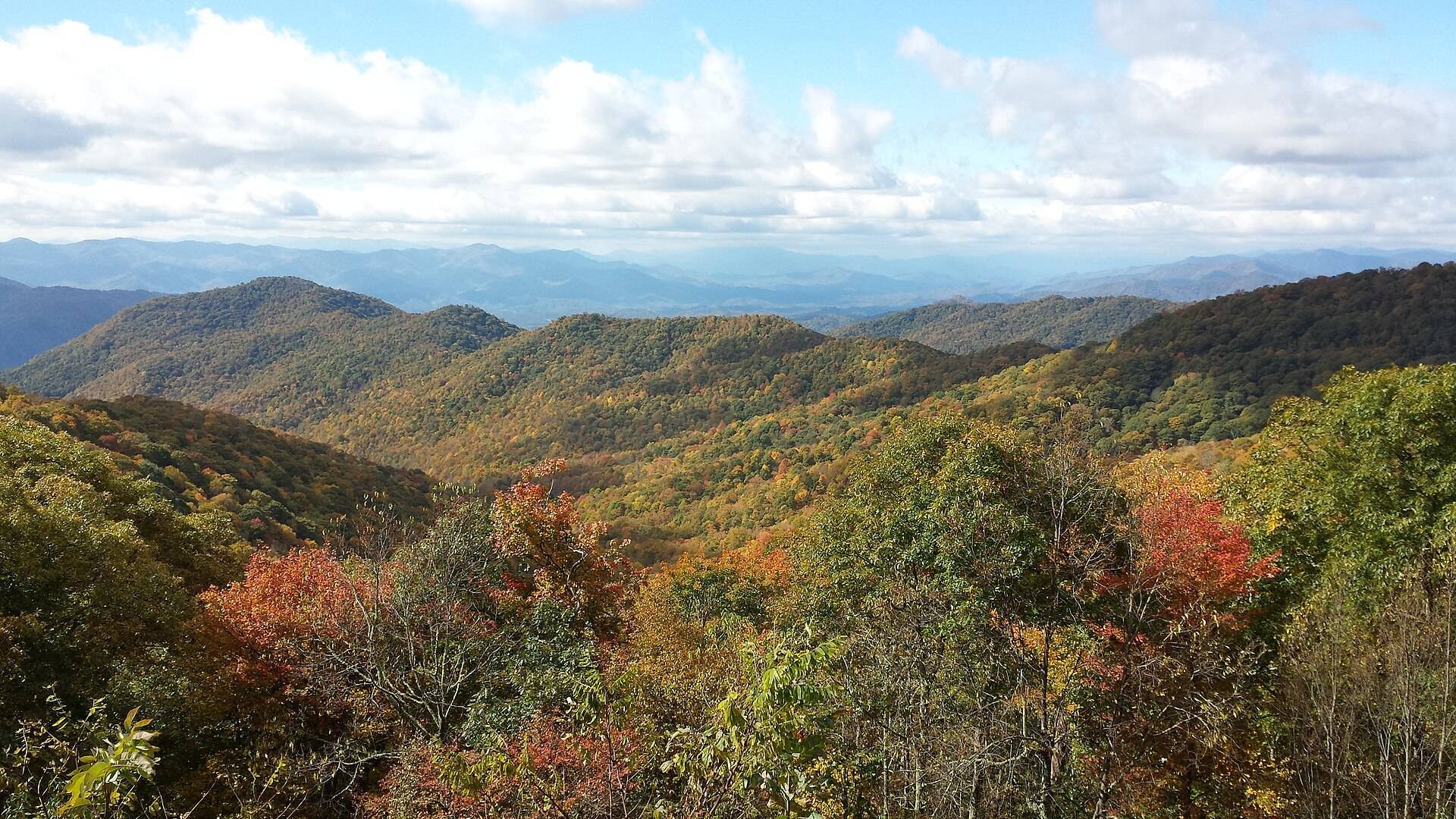
Follow open Blue Ridge Parkway sections and official public detours from Rockfish Gap to Oconaluftee, with one useful Appalachian public day at each overnight. The route does not promise an uninterrupted 469-mile Parkway drive, peak foliage, an open trail or a staffed facility.
Blue Ridge Parkway & Appalachian Towns is a 755 km one-way journey (self-drive). It works best as a 7-day trip; the plan below is the 7-day version for October, built from 278 verified places, with real road-routed transit times, opening hours and daylight checked.
Plan your own version → 7-day plan · best time to go
The route
What you'll see
Choose your length
When to go
Best months: May, June, July, August, September, October
Open-section scenic-road product. Road status, Helene recovery work, construction, weather closures and foliage stage remain live checks; October colour is never guaranteed.
Similar journeys
- Sea to Sky, Canyons & the Okanagan, Vancouver → Squamish → Whistler → Lillooet → Kamloops → Kelowna · 7 days · best Jun–Sep
- California: San Francisco to Los Angeles by Highway 1, San Francisco → Monterey → Big Sur → Los Angeles · 7 days · best Apr–Jul
- Southwest Parks & Navajo Nation Grand Circle, Las Vegas → Zion → Bryce → Page → Monument Valley → Grand Canyon → Las Vegas · 7 days · best Apr–May, Sep–Oct