Home › Journeys › North America › California: San Francisco to Los Angeles by Highway 1
California: San Francisco to Los Angeles by Highway 1 – Route Guide
Last updated:
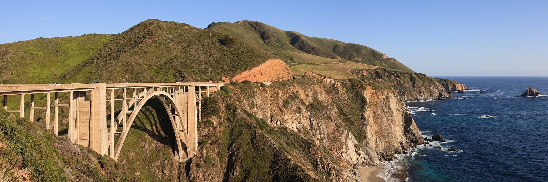
Follow California’s public coastal corridor from San Francisco through Santa Cruz and Monterey, Big Sur, San Luis Obispo, Santa Barbara and Malibu to Los Angeles. The baseline uses confirmed-open public waterfronts, heritage areas and lawful signed viewpoints; Highway 1 through access is a live prerequisite, and timed entry, tours and providers stay optional.
California: San Francisco to Los Angeles by Highway 1 is a 700 km one-way journey (self-drive). It works best as a 7-day trip; the plan below is the 7-day version for May, built from 1474 verified places, with real road-routed transit times, opening hours and daylight checked.
Plan your own version → 7-day plan · best time to go
The route
What you'll see
Choose your length
When to go
Best months: April, May, June, July
Highway 1 reopened through Regent’s Slide in January 2026, then winter debris and August wildfire operations caused new closures. Treat through access as a live prerequisite: if Caltrans closes the Big Sur segment, use a separately assessed signed inland alternative or choose another date rather than presenting the coastal road as open.
Similar journeys
- Sea to Sky, Canyons & the Okanagan, Vancouver → Squamish → Whistler → Lillooet → Kamloops → Kelowna · 7 days · best Jun–Sep
- Blue Ridge Parkway & Appalachian Towns, Rockfish Gap → Oconaluftee · 7 days · best May–Oct
- Southwest Parks & Navajo Nation Grand Circle, Las Vegas → Zion → Bryce → Page → Monument Valley → Grand Canyon → Las Vegas · 7 days · best Apr–May, Sep–Oct