Home › Journeys › Africa › The Panorama Route & Kruger
The Panorama Route & Kruger: Route Guide
Last updated:
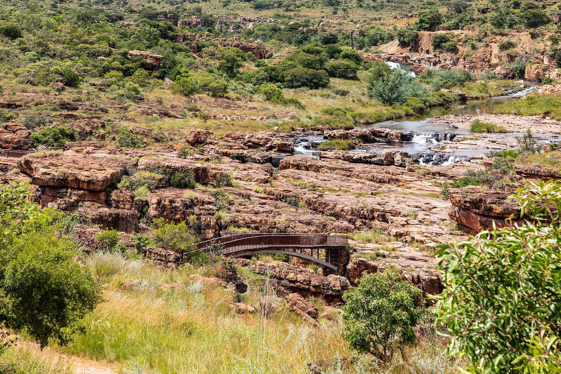
A same-car loop links the highveld road to a full Panorama Route circuit and two measured self-drive days in southern Kruger. The park days follow gate hours and low speed limits; wildlife may be seen but no species or sighting is promised.
The Panorama Route & Kruger is a 900 km loop (self-drive). It works best as a 7-day trip; the plan below is the 7-day version for June, built from 7 verified places, with real road-routed transit times, opening hours and daylight checked.
Plan your own version → 7-day plan · best time to go
The route
What you'll see
Choose your length
When to go
Best months: April, May, June, July, August
Drier months usually make road travel and viewpoints easier to plan, but mist can obscure the escarpment and wildlife sightings are never guaranteed.
Similar journeys
- Kenya Rift Valley & Mara Safari, Nairobi → Hell’s Gate → Lake Nakuru → Mara Triangle → Nairobi · 6–8 days · staffed 4WD
- Carthage to the Sahara's Edge, 500 km one way · 7 days · best Mar–May
- Cairo, Luxor & the Nile, Cairo → Giza → Luxor → Edfu → Aswan · 6–8 days · overnight rail + staffed road · best Oct–Mar